 > ENC Master > Climate Encyclopaedia > Weather > basics > 1. Weather & Fronts > - Weather and Climate
 |
|
|
|
WeatherBasic |

|
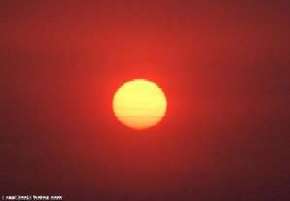
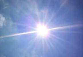
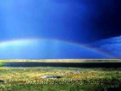
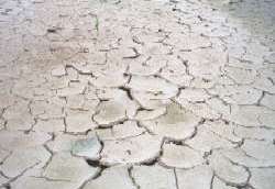
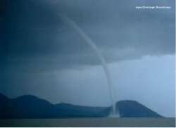
Weather is the instantaneous state of the atmosphere, or the sequence of the states of the atmosphere as time passes. As we know, the behaviour of the atmosphere at a given place can be described with number of quantities characterizing the physical state of the air, such as its temperature, pressure, water content, motion, etc. |
|

|
|
|
Since weather is the sequence of states of the atmosphere, it is tempting to define a true climate in terms of a limit as the time interval approaches infinity, e.g. it is the total ensemble of the atmospheric states which ever occurred in the past. But the questions arise: how can we arrive at and what can we do with such an abstract idea? The practical difficulty is computing the statistical properties of an infinite time series, what is impossible. The theoretical difficulty is that we would not be able to consider the change of this type of climate. |
|
Internationally accepted convention recommended by the World Meteorological Organization (WMO) that the 30-year period is a basic climatic time scale, and the statistical properties calculated for the consecutive 30-year periods 1901-1930, 1931-1960, and most frequenly used 1961-90. Are considered and called climatological standard normals. |
|
Because the climate is changing rapidly nowadays, climate characteristics are sometimes re-calculated every 10 years for the period of the recent 30 years, i.e. 1961 - 1990, 1971 - 2000, ... although the next official period would be 1991 - 2020. These fixed time intervals allow world-wide comparison of climatological events. For special purposes, however, other climatic time scales are sometimes used.
|
|
For example, the suitable climatic time scales are completely different in case of initiation of the cultivation of a new plant from those needed for investigating the glacial chronology. Generally speaking, the appropriate length of the meteorological time series which we choose to obtain the most useful set of climatic characteristics, is always determined by the goal for which we want to apply them.
|
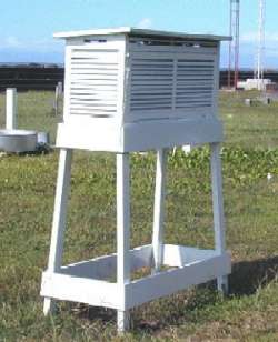
How do we measure meteorological elements? The meteorological elements are changing not only in time, but in space too. Therefore a single measuring site (station) in itself cannot usually be representative even for area with couple of 100 km2. So, weather stations are being organized in networks. The density of the weather stations in a particular network depends on
In order to the observations at different stations may be comparable the exposure of instruments must be similar. It should be away from the immediate influence of trees and buildings, steep slopes, cliffs or hollows. A climatological station should be located at a place providing an unchanged exposure over a long period and a continued operation of the station for at least ten years.
|
|
|
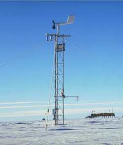
The surface measuring networks provide the so called in situ measured data. 71% of the Earth surface is covered by oceans, quite large parts of the continents are covered by rainforests, ice, deserts, high mountains, where the regular surface observations make difficulties. Therefore, another type of measurements are requested, the remote sensing methods. Such type of measurements are the satellite and the radar measurements. Recently, revolution goes on in the surface measuring techniques. The number of observers is reducing and the number of automathical weather stations (AWS) is growing. As a consequencies, we have much more data for our different purposes (the most frequent regular manual observations were the hourly measurements, the usual measuring frequency at the AWSs is 10-15 minutes), the measuring techniques changed, and in many case we cannot measure the same meteorological parameter as earlier (for example the sunshine duration).
|
|
|
About this page:author: Sándor Szalai - Hungarian Meteorological Service |